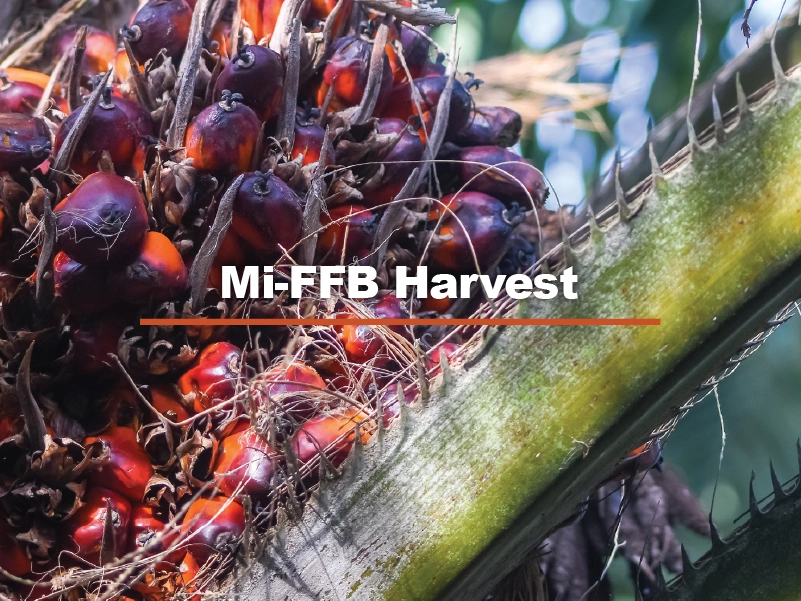
Mi-FFB Harvest identifies and classifies oil palm trees for harvest readiness using machine learning-based computer vision. It detects the presence of loose fruitlets on the ground in the vicinity of the tree as well as indicates the tree location on a semantic map representing an actual plantation area. This aids plantation owners to deploy workers to trees ready for harvesting, saving time and increasing labour productivity.
Mi-FFB Harvest is an AI-powered automated system for Fresh Fruit Bunch (FFB) harvest-readiness characterisation in oil palm plantations.
Key Features
-
Tree ID Generation
Generates unique GPS-based Tree IDs by mapping individual palm trees using above-canopy drone imagery and linking them to plantation maps.
-
Ground-Level Drone Operation
Performs under-canopy drone flights for close inspection, tracking tree positions via GPS and orientation, and accurately matching each observed tree to its assigned Tree ID..
-
Harvest-Readiness Classification
Uses RGB and multispectral imaging with deep learning models to assess physical maturity traits, classify FFBs into Unripe, Underripe, or Ripe categories, and operate reliably under diverse lighting and environmental conditions.
-
Palm Tree Database
Maintains a centralised database of Tree IDs, GPS locations, and harvest status that is automatically updated with each classification event and seamlessly integrates into plantation management systems.
Technology Benefits
-
Accurate & Consistent:
AI-driven models reduce reliance on manual inspection, eliminating subjectivity and improving harvesting operations
-
Near Real-Time Insights
Classification results are processed directly on the device and updated instantly for immediate access
-
Operational Efficiency
Operational Efficiency: Reduces missed harvest-ready trees to maximise yield recovery
-
Scalable Deployment
Easily integrates with various drone platforms and adapts to plantations of different sizes.
-
Optimised Harvesting
Database-driven planning enables efficient allocation of harvesting crews
-
Flexible Integration
Complements existing plantation monitoring and mapping systems
The system integrates advanced computer vision, deep learning models, and drone-based imaging to detect, classify, and record the maturity status of FFBs in real time. It enables consistent, objective, and efficient assessment of FFB maturity, reducing reliance on manual inspection and improving harvesting operations.
Application
- Plantation Harvest Planning
- Yield Optimisation
- Field Workforce Management
- Drone-Assisted Plantation Monitoring